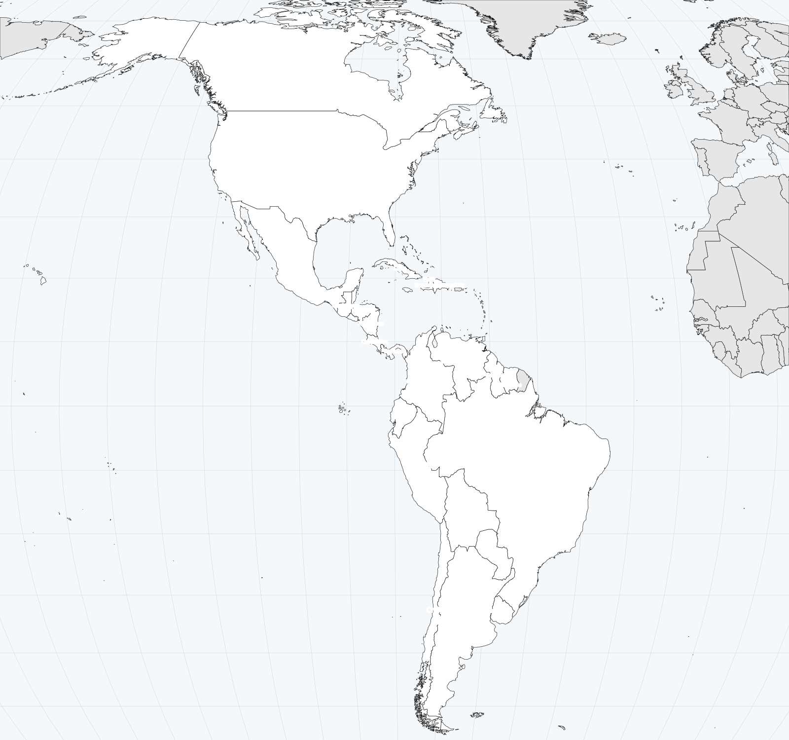
Map of the Americas with countries
Each country is labelled in place, wherever its size allows. Free, no sign-up, in vector format: it stays sharp at any print size.
Other maps
Borders: Natural Earth, United Nations viewpoint (Western Sahara and Kosovo in grey, non-member territories). Sources.
Practise: place the countries on the map Interactive world map